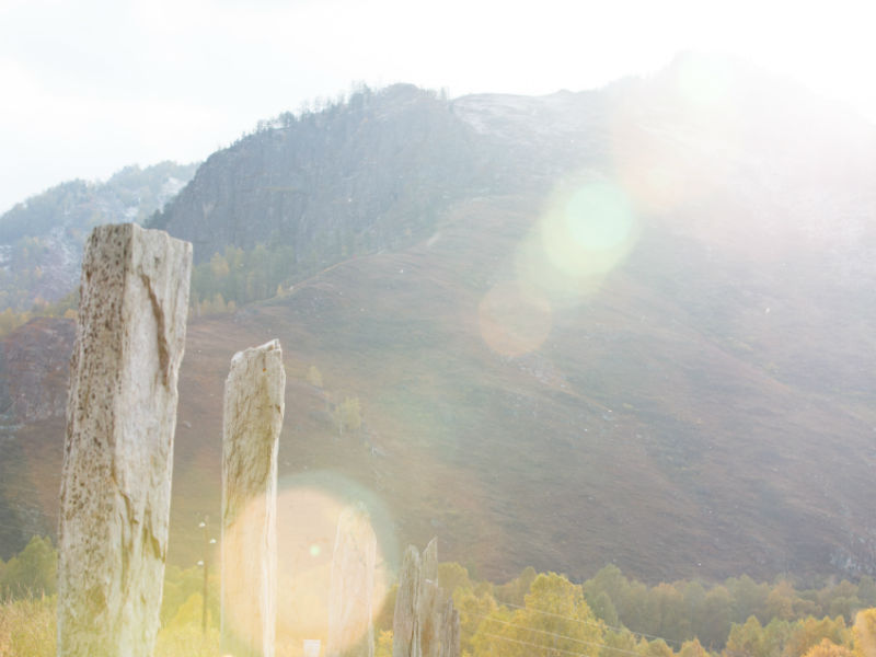
The archaeological complex "Tsarsky Kurgan" is a unique monument of about 2500 years old, located in the valley of the Sentelek River, a tributary of the Charysh, not far from the country road between the villages of Sentelek and Pokrovka. This is one of the most popular tourist sites in the Charysh region.
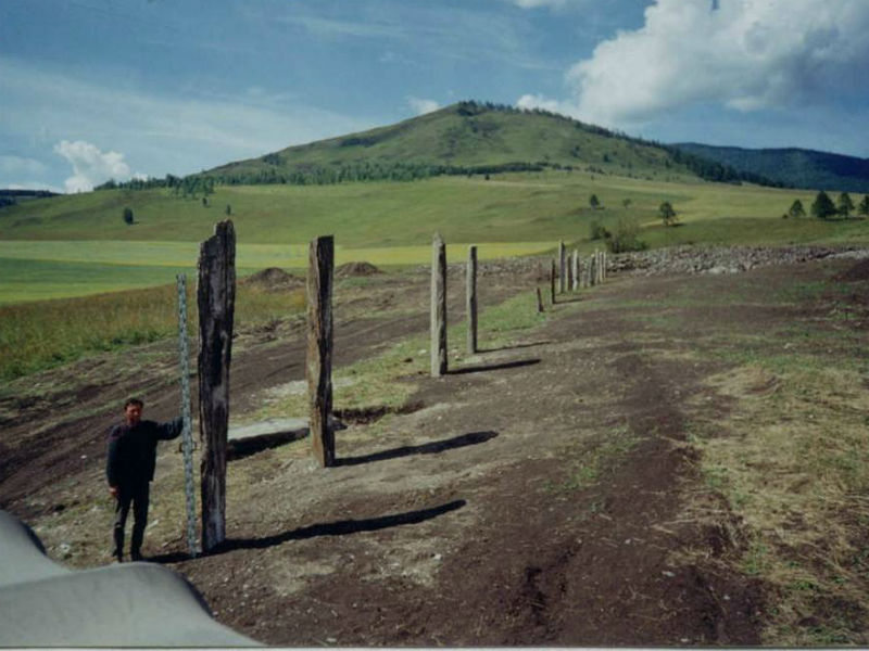
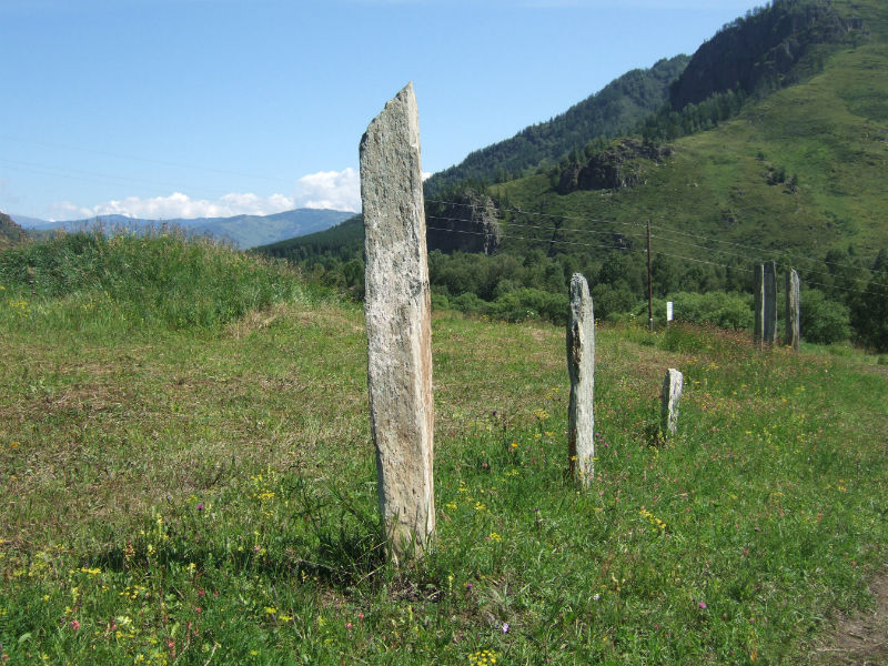
The mound with a diameter of about 50 m and a height of up to 2 m is the largest in the Altai Territory. In mounds of this size, chiefs or priests were usually buried. Under a thick layer of earth, a circumferential ring of 1-1.5 m slabs, an inner ring and the most remarkable part of the funeral and memorial complex - a row of 19 steles up to 4.5 m high, the highest in Altai, have been preserved. The height of the stones increased with distance from the mound, so that their tops looked at the same level: the nearest stone is 2 m high, and the far one is 4.5 m high.
Scientists are divided on the purpose of these stones. Perhaps their number corresponded to the number of defeated enemies, or, conversely, the number of clans in the tribe ruled by the leader. It has been suggested that the stone pillars placed in a row served as a kind of observatory for the ancient people: at sunrise, on the day of the equinox, the shadows from all the steles converge. By the direction of the shadows, the Scythian priests could determine the time of the change of seasons.
Photo: Valery Stepanyuk
Tsar's mound на карте
Tsar's mound фото


Altai Region, Barnaul, prospect Krasnoarmeysky,16a